Naples Bay
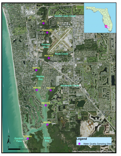
Naples Bay is an urbanized, relatively narrow, shallow estuary ranging in width from 100 to 1500 feet, and in depth from 1 to 23 feet. Naples Bay connects to the Gulf of Mexico via Gordon Pass. The bay’s watershed once drained about 60 square miles, but it now encompasses approximately 135 square miles due to construction of the Golden Gate Canal system in the 1950s, which discharges into the Gordon River and Naples Bay. An average of 200 million gallons of freshwater per day enters Naples Bay from the canal.
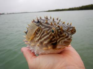
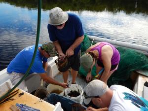
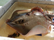
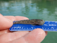
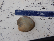
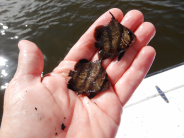
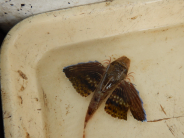
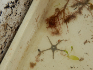
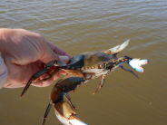
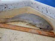
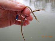
Water quality in Naples Bay and the Gordon River is monitored monthly. Trawling, which involves deploying a large net behind a boat to catch various fish and invertebrate species, is conducted bimonthly, and species caught are quantified and measured to further our knowledge on what inhabits these waterbodies. See the pictures below for examples of species found in the bay. This data is used to assess trends and make environmental management decisions.
Check out the link below for live water quality data in Naples Bay at our three datasonde stations.
https://cloud.xylem.com/hydrosphere/public-sites/OWA_F4F8A06095A548BFBC93F0C391820381
