2024 FLOOD INSURANCE RATE MAPS ISSUED FOR THE CITY OF NAPLES
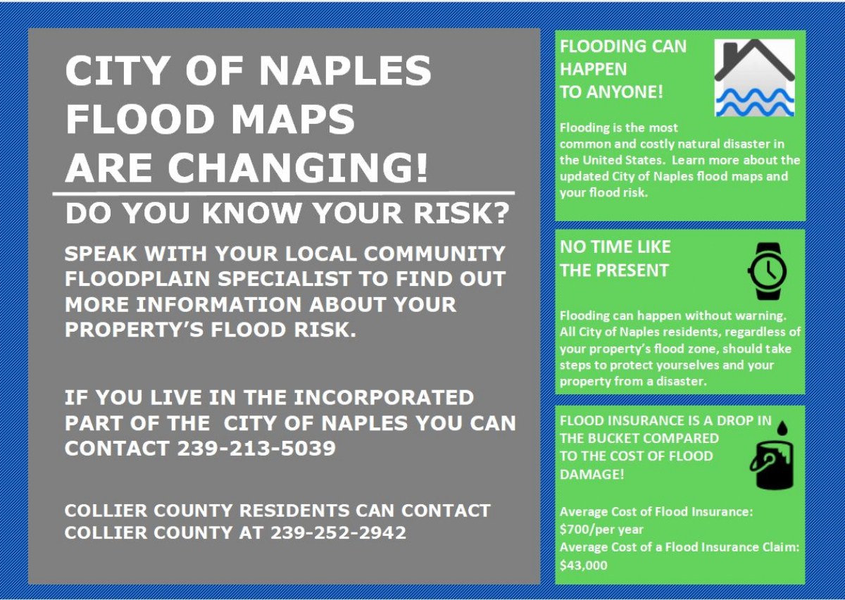
The 2024 Flood Insurance Rate Maps (FIRM) will be going into effect on February 8, 2024 after several years of study. There are changes/modifications to the City’s maps, which may be consequential to residents. There may be property owners that get informed that they are now required to purchase flood insurance, when they didn’t in the past. Per FEMA.gov:
Newly Mapped (A Property Newly Mapped into the SFHA)
A property that was once designated outside of the Special Flood Hazard Area (SFHA) on an effective Flood Insurance Rate Map (FIRM), and following a map revision, is designated within the SFHA. Property newly mapped into the SFHA by a map revision on or after April 1, 2015, and meeting certain loss history requirements is eligible for the Newly Mapped rating procedure outlined in the Newly Mapped section of this manual if coverage is purchased within 1 year of the map revision and continuously maintained. A property meeting the loss history requirements and newly mapped into the SFHA by a map revision effective on or after October 1, 2008, and before April 1, 2015, may be insured under the Newly Mapped rating procedure if coverage is purchased on or after April 1, 2015, but before April 1, 2016, and maintained continuously. The newly mapped procedure is not available for any property mapped into the SFHA by the initial FIRM.
Last updated March 5, 2020
People may be eligible for a lower initial rate. Per the helpwithmybank.gov website:
Flood maps for my community have changed and my home is now located in a Special Flood Hazard Area (SFHA). I am now required by my lender to have flood insurance. I read that I may be eligible for a lower rate on my flood insurance policy, is that true?
Yes. If your property was newly mapped into an SFHA, you may be eligible for a lower rate through FEMA's Newly Mapped Procedure. In the first year after a map revision, this option provides the lower-cost Preferred Risk Policy (PRP) rate before fees and surcharges. Every year after, rate increases of up to 18 percent will be applied until the premium rates reflect full-risk rates. You must maintain coverage continuously to keep your lower rate.
Properties newly mapped into an SFHA are eligible for the Newly Mapped rating procedure if:
- The policy effective date is within 12 months of the effective Flood Insurance Rate Map (FIRM) revision date; or
- The insured applied for the policy within 45 days of initial lender notification if the notification occurred within 24 months of the effective FIRM revision date.
A policy under the Newly Mapped procedure will stay with the building even if there is a change in ownership as long as federal flood insurance coverage is continuous. Therefore, if the building is sold, your policy can be transferred to the new owners, allowing them to keep the lower-cost rating option.
Contact your insurance agent for more information on program specific requirements.
Agents.floodsmart.gov also posts:
Understanding the Newly Mapped Procedure
What’s changing
A client’s property’s flood risk is changing from a moderate- to low-risk flood area (Zone B, C, or X) or Unknown (Zone D) to a high-risk area (Zone A or V).

What this means for existing or potential clients
For clients that are newly identified to be a high-risk flood area, the NFIP offers a cost-saving option called the Newly Mapped Procedure.
With NFIP's pricing approach, Risk Rating 2.0, Newly Mapped discounts and subsequent rate increases continue. Premiums will continue increasing gradually and within the existing statutory limits set by Congress until reaching the full risk premium.
If the building is sold, the policy can be transferred to the new owners, allowing them to keep the lower-cost rate. Clients must maintain coverage continuously to keep their Newly Mapped rate.
NFIP's Pricing Approach
With NFIP's pricing approach, FEMA now has the capability and tools to address rating disparities by incorporating more flood risk variables like flood frequency, multiple flood types — river overflow, storm surge, coastal erosion, and heavy rainfall — and distance to a water source, as well as property characteristics such as elevation and the cost to rebuild.
This means that although flood mapping data will still be necessary and essential for communities, and Flood Insurance Rate Maps (FIRMs) will continue to be used for mandatory purchase requirements, building code requirements, and floodplain management requirements, flood maps will no longer be the most significant factor in rating premiums.