Floodplain Information
This page has been created by the City of Naples to serve as a “one-stop shop" for all floodplain-related information source for those who live, work and play in the community.
Its intent is to:
- Promote greater public awareness and understanding of the flood threat in the City of Naples.
- Offer practical guidance on preparing for, mitigating against, and recovering from flood events.
- Provide information on important local, state and federal guidelines, loss reduction programs and services.
- Answer commonly asked questions regarding flood insurance, flood zones, elevation certificates and other flood related topics.
Flood Threat
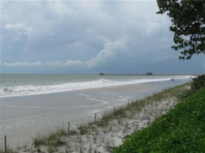
The City of Naples is located in a unique geographical area and is particularly susceptible to flooding from major rain events and storm surge. The City is fronted by the Gulf of Mexico with Moorings Bay and Naples Bay winding through and around the City with a series of complex canal systems. The City of Naples lies close to sea level and its underground water supply is just below the ground surface. Therefore, major rain events, especially during high tide, sometimes leave rainwater nowhere to drain. This causes occasional flooding, mostly street and yard flooding, especially in the lowest lying areas of the community. Flooding can occur anywhere, anytime and just because it has not happened yet does not mean it can’t or won’t happen sometime in the near future.
Floodplain Coordinator
The Floodplain Coordinator for the City of Naples works in the Building Department and is responsible for implementation of the Federal Emergency Management Agency’s (FEMA) National Flood Insurance Program (NFIP) and Community Rating System (CRS). The City of Naples joined the NFIP in 1971 adopting the NFIP’s regulations pertaining to floodplain management and flood damage prevention. The Floodplain Coordinator is responsible for enforcing the requirements of the Floodplain Management Ordinance as well as answering flood zone questions, providing elevation certificates (if on file), floodplain review of all permits as applicable, review of all building spot and final elevation certificates and coordinating all activities under the CRS program and providing the public with hurricane and flood safety information. The Floodplain Coordinator can be reached at 239-213-5008.
All other building questions should be directed to the Building Department at 239-213-5020. All zoning questions should be directed to the Planning Department at 239-213-1050.
2024 Flood Insurance Rate Maps are in effect for construction and insurance purposes!
These maps are referred to as Flood Insurance Rate Maps (FIRMs) and illustrate flood hazards throughout the community and are used when determining flood insurance policy rates. Residents and business owners can view maps to better understand their potential flood risk to help identify steps they may need to take to protect against property damage and flood loss.
To find out if you property lies in an area susceptible to flooding, known as Special Flood Hazard Areas or flood zones, you can view the flood maps using the City of Naples interactive web tool. Once you navigate to this web tool, please enter your address to view the map for your area. For confirmation of your property’s official flood zone designation, please contact the Floodplain Coordinator or call you local flood insurance agent.
Important Notice
Information found on this website on flood zones, Elevation Certificates, and Letters of Map Amendments is provided strictly as a public service, and is subject to change. Prior to purchase of or construction on a property, flood information should always be confirmed with an official flood zone determination, through securing the services of a Florida Licensed Engineer, Architect or Surveyor.

